


Can You Actually Fly a Drone Over Mount Everest? The Complete Truth Nobody Tells You
Can you fly a drone over Mount Everest? Discover the real rules, permits, risks, fines and what no one tells you before flying in Nepal.

-
 Adventure Master Trek
-
26 February, 2026
-
11 mins read
-
154 Views
-
0 Comments
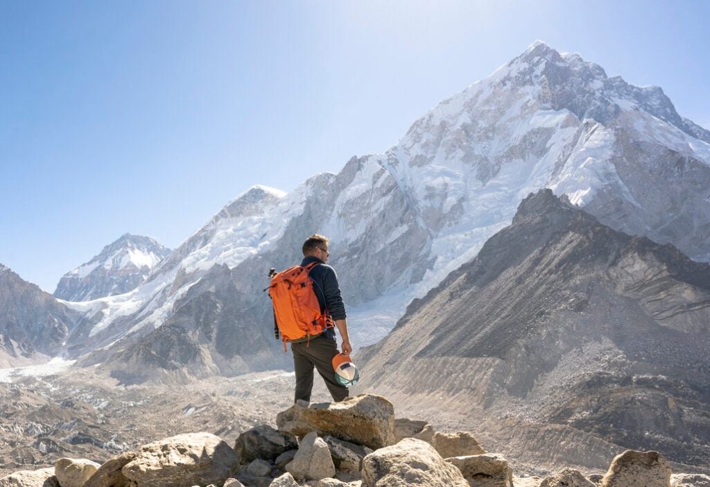
So you’re heading to the Everest region, you’ve got a shiny DJI Mavic packed in your bag, and you’re already picturing those jaw-dropping aerial shots — Everest’s summit piercing through the clouds, the Khumbu Glacier stretching out below you, prayer flags fluttering over Namche Bazaar. It’s a dream.
And honestly? It’s not impossible. But here’s what most travel blogs won’t tell you upfront: flying a drone over Everest is one of the most legally complex, bureaucratically demanding, and genuinely challenging things you can attempt as a visitor to Nepal. This blog breaks down everything — the rules, the permits, the costs, the process, and the fascinating ways drones are already changing life on the world’s highest mountain.
The Short Answer: Yes, But Not the Way You’re Thinking
Let’s be completely straight about this from the start. Can you fly a drone near Mount Everest? Technically, yes — with the right permissions. Can you just land at Lukla, pull your Mavic out of your bag, and start filming? Absolutely not. Not legally, anyway.
The Everest region lies within Sagarmatha National Park, a UNESCO World Heritage Site, a protected conservation zone, and a militarily sensitive border area all rolled into one. That combination means drone regulations here aren’t just strict — they’re multi-layered, involve multiple government ministries, and require permits that most casual tourists will realistically never obtain.
The bottom line: regular tourists and recreational trekkers are effectively prohibited from flying drones at Everest Base Camp and throughout the Khumbu region. That doesn’t mean it never happens, but it does mean that anyone you see doing it casually is doing so illegally — and risks serious consequences.
Why the Rules Are So Strict (And Why That Actually Makes Sense)
Before diving into the permit process, it’s worth understanding why Nepal has made this so complicated. Because when you think about it, the reasons are pretty compelling.
The Everest region is among the most ecologically vulnerable regions on earth. Some of the wildlife species supported by the alpine ecosystem include the snow leopard, red panda, and the Himalayan tahr, all of which are rare. These animals are already straining due to growing tourism. The droning noise in the air is a real stressor for wildlife; it makes feeding difficult, evokes fear, and may even disrupt breeding behavior. The Department of National Parks and Wildlife Conservation takes this seriously, and they’re right to.
Next is the cultural aspect. The Sherpa communities in the Khumbu region have a way of life closely associated with Buddhism and the traditions of ancient monasteries. The Tengboche Monastery is considered one of the most important sites in the area and attracts thousands of visitors each year. The drone of a flying camera is considered highly disrespectful to ongoing religious practices or places of worship, and Nepal’s legislation also reflects the country’s cultural importance.
And then there’s the safety issue, which is arguably the most pressing. The Everest region has extremely busy helicopter traffic. Rescue helicopters, supply runs, summit-day evacuations — the airspace around Khumbu is far more congested than it looks from the ground. An unauthorized drone in that airspace isn’t just a legal problem; it’s a genuine aviation hazard.
So when you put all of that together — fragile ecology, sacred culture, active airspace, and a border region with security implications — the strict rules start making a lot of sense.
The Permits You Actually Need (This Is Where It Gets Real)
Here’s where most people’s Everest drone dreams quietly die. If you want to fly a drone legally in the Everest region, you don’t just need one permit. You need a chain of approvals, each from a different government authority, and each one depends on the previous one being granted first.
Step one is CAAN registration. The Civil Aviation Authority of Nepal is the starting point for everything. Before any other authority will look at your application, your drone needs to be registered with CAAN and assigned a Unique Identification Number (UIN).
You’ll need to submit your drone’s make, model, serial number, photos, the manufacturer’s manual, your passport and visa, and a completed application form (RPA/Form/001). You also need to declare the drone at customs when you arrive at Tribhuvan International Airport — walk through the Red Channel, not the Green one, or you’ll end up in a bureaucratic nightmare when CAAN asks for your customs clearance certificate.
Step two is the Ministry of Home Affairs clearance. Because the Everest region borders Tibet (China), it falls under enhanced national security oversight. The Ministry of Home Affairs needs to sign off on your flight — this is about verifying that you’re not conducting unauthorized surveillance near an international border.
Step three is the Department of National Parks and Wildlife Conservation. This is the big one for Everest specifically. Because you’re operating inside Sagarmatha National Park, you need explicit written approval from the DNPWC. This is where the significant fees come in: the Everest region carries an additional permit fee of around $1,500 USD for foreign nationals. That’s on top of everything else. And it’s non-refundable.
Step four is the local municipality or village council. Even after getting national-level approvals, you may need sign-off from the local administration — essentially the community whose airspace you’re flying through.
For commercial filming, it gets even more involved. You’ll also need approvals from the Ministry of Culture, Tourism and Civil Aviation, the Ministry of Defense, the Ministry of Foreign Affairs, and the Ministry of Federal Affairs. The whole process realistically takes between 15 and 45 days, and approval is never guaranteed — authorities can reject your application even if your documentation is perfect.
Total costs for a recreational flier could run $300 or more when you factor in CAAN registration, ministry fees, and park fees. For a professional film team operating in the Everest region, the number can exceed $1,800 USD — and that’s before you even think about the logistics of getting there.
What Happens If You Just… Do It Anyway
Nepal has gotten very serious about enforcement. The police and park authorities have become efficient at spotting unauthorized drone activity, and the penalties are not a slap on the wrist.
Flying a drone without proper permits can result in an immediate fine of anywhere from NPR 2,000 to 50,000 (roughly $15 to $400 USD), confiscation of your entire drone and camera equipment, legal action, and for foreign nationals, potential arrest or deportation. Perhaps most painfully for mountaineers: you could be blacklisted from future mountain permits. So if you’re someone who dreams of coming back to attempt a summit, putting that at risk for a few aerial shots is genuinely not worth it.
Beyond the legal risk, there’s a practical one. Even if you evade park rangers on the trail, uploading that footage to social media is not a safe bet — there’s no guarantee it won’t attract attention from authorities who will then trace it back to you.
The Technical Challenge Nobody Talks About
Let’s say you somehow got all the permits. You’ve spent the time, you’ve paid the fees, you’ve got your CAAN UIN displayed on the body of your drone. Now you actually have to fly the thing. And this is where Mount Everest humbles even the best drone technology.
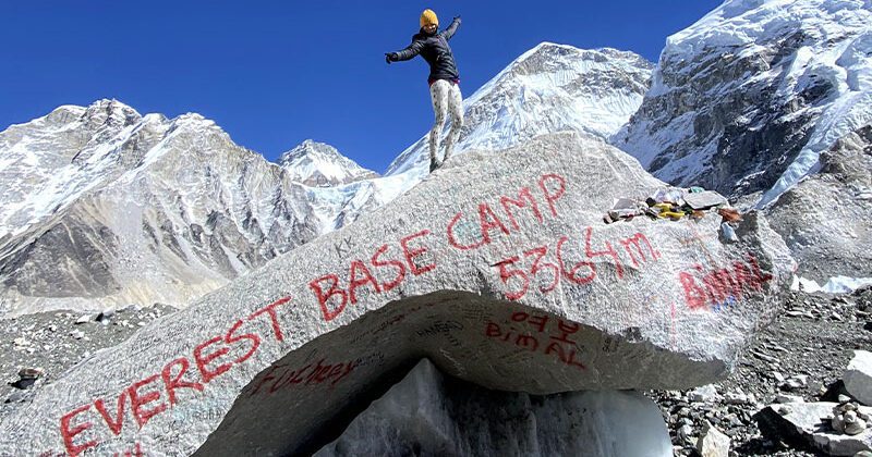
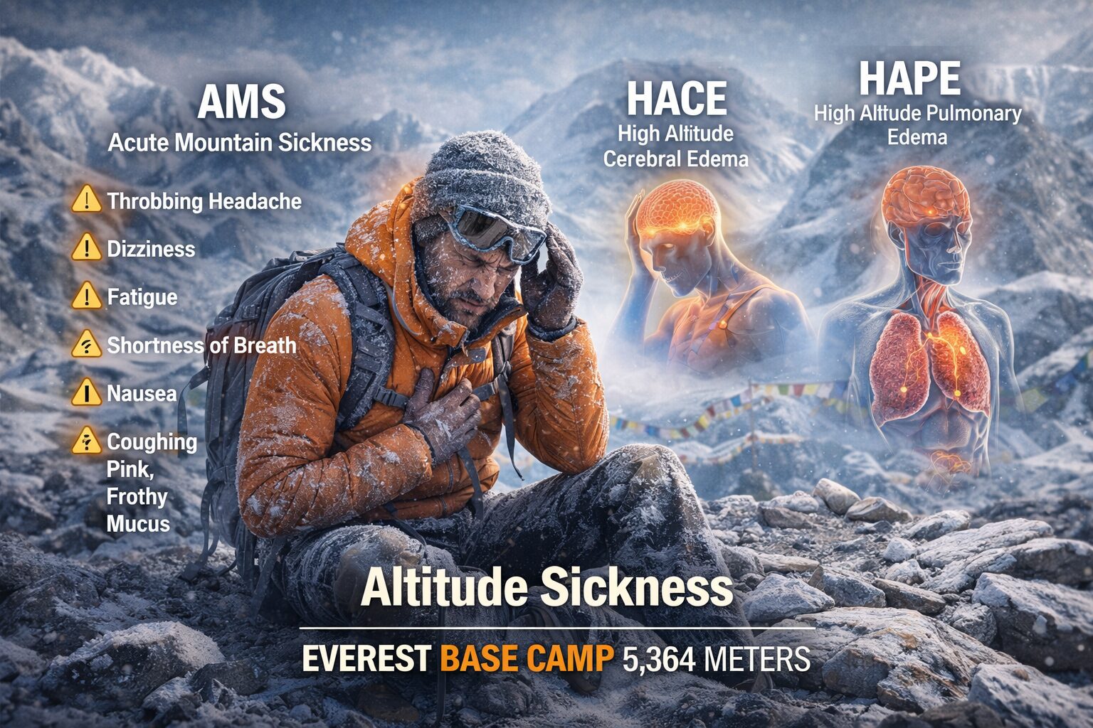
At Everest Base Camp — sitting at 5,364 meters (17,598 feet) above sea level — air pressure is roughly half of what it is at sea level. Your drone’s propellers are designed to generate lift by moving air, and at altitude, there’s simply less air to move. Most consumer drones experience dramatically reduced hover time and weakened stability at that elevation.
Temperatures drop brutally, sometimes to -20°C or lower, which affects battery performance significantly. The average flight time you’re used to at sea level can be cut in half. Wind speeds on Everest are notoriously unpredictable — calm in the morning, then gusting to 60 km/h or more by afternoon. The DJI Mavic 3, one of the more capable consumer drones, handles up to 12 m/s of wind resistance — but conditions on and around Everest can exceed that easily.
In 2022, a team from 8KRAW Films partnered with DJI and actually became the first people to successfully launch a drone from the summit of Mount Everest itself. They used a specially modified version of the DJI Mavic 3 built by DJI engineers specifically to handle the summit’s conditions — roughly 8,849 meters above sea level, where air density is only about a quarter of sea level. The footage was extraordinary. But to achieve it, they needed months of planning, custom hardware, a full summit attempt with the drone in hand, and a specialized technical team.
That context matters. When you see gorgeous Everest aerial footage online, you’re usually looking at the result of exactly that kind of extraordinary effort — not someone who packed a Mini 4 Pro in their daypack.
The Cool Part: What Drones Are Actually Doing on Everest Right Now
Here’s where the story gets genuinely exciting, because drones aren’t just a tourist fantasy on Everest — they’re actively transforming operations on the mountain in ways that could save lives.
A Nepali company called Airlift Technology has been operating drones on Everest since 2024, in partnership with the Sagarmatha Pollution Control Committee and with equipment donated by DJI. Their operation focuses on two main missions: logistics support for Sherpas, and trash removal.
The logistics piece is particularly impressive. The Khumbu Icefall — the notoriously dangerous section between Base Camp and Camp One — requires Sherpas (known as “icefall doctors“) to climb repeatedly to fix ladders and ropes before the climbing season begins. It’s dangerous work at a dangerous altitude.
Airlift’s drones can now carry up to 44 pounds of equipment — ladders, ropes, oxygen cylinders, medical supplies — and deliver them to precise GPS coordinates radioed in by Sherpas on the glacier. A drone pilot sitting at Base Camp, guided by walkie-talkie, drops equipment exactly where it’s needed.
The trash removal mission is equally striking. Everest has accumulated decades of garbage — oxygen canisters, tent scraps, human waste, general debris — left behind at the higher camps. Airlift used drone flights to bring down approximately 1,100 pounds of trash from Camp One to Base Camp in a single cleanup operation, taking over 40 individual flights to do it.
For the 2025 climbing season, Airlift expanded operations: helping Sherpas transport equipment before the season, supporting route-finding with small scout drones, and continuing trash removal once the climbing begins. Each cargo drone costs around $70,000, and operating at Base Camp is expensive — fuel, manpower, battery logistics. But the potential is clear: drones on Everest aren’t a novelty. They’re becoming infrastructure.
And in 2025, Polish skier Andrzej Bargiel made history with a no-oxygen ski descent of Everest, guided through the treacherous Khumbu Icefall by a drone flown by his brother Bartek from Base Camp. As Andrzej skied below, Bartek flew overhead calling out route updates by radio. It was the ultimate proof that drones aren’t just documenting Everest anymore — they’re actively participating in human achievement on the mountain.
So, What Should You Actually Do?
If you’re a trekker heading to EBC and you were hoping to bring your drone along for the adventure, here’s the honest advice:
Start the permit process at least three to four weeks before your trip, ideally before you even arrive in Nepal. If you want any realistic chance of legal flight, hire a local Kathmandu-based agency that handles drone permit logistics — they know the process, have the right contacts, and can navigate the physical paperwork submissions that CAAN and the ministries require. Budget $300 minimum for the basic permit fees as a recreational flier, and more like $1,500+ if you’re in the Everest region specifically.
Fly only during daylight hours. Keep your drone within visual line of sight at all times. Stay below 120 meters of altitude relative to your takeoff point. Keep a 30-meter distance from buildings and people. Never fly near helicopters, and if you hear rotors — land immediately. Avoid all religious sites and any area near the monasteries along the trek.
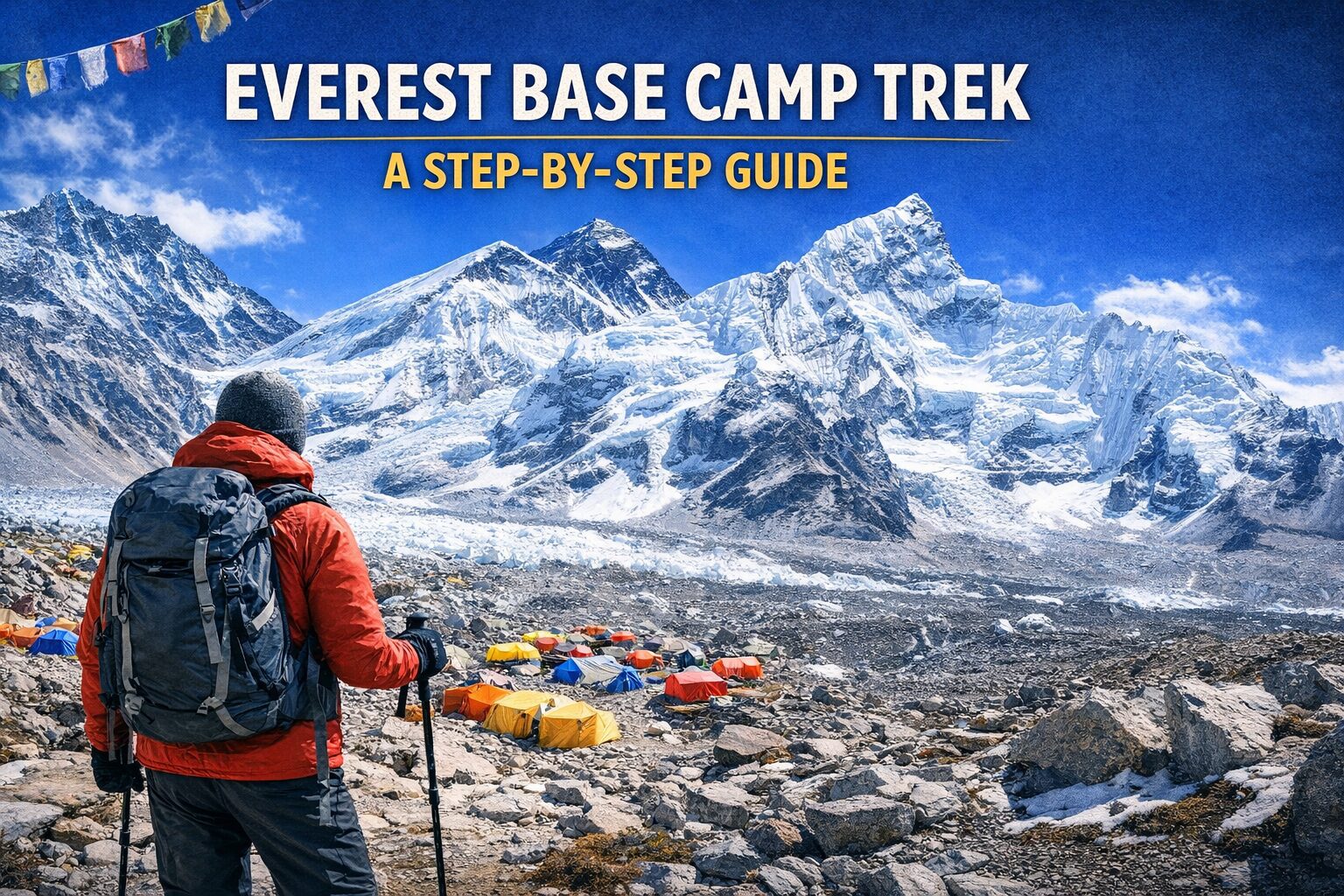
And if the permit process feels too daunting for a vacation? Leave the drone at home and enjoy the experience with your eyes. The views from Kala Patthar at sunrise — Everest, Lhotse, Nuptse, the whole Khumbu panorama — don’t need a drone to be the most beautiful thing.
The Bottom Line
Everest drone footage is breathtaking, and the technology that’s now working on the mountain is genuinely revolutionary. But flying your own drone there as a tourist is deeply complicated, seriously expensive, and logistically demanding in a way most people underestimate. The rules exist for good reasons — protecting a fragile ecosystem, a sacred culture, a busy airspace, and a border region.
The best aerial shots you see from Everest are the result of professional teams, expensive permits, specialized equipment, and months of planning. If that’s you, go for it — the process is navigable if you’re committed. If you’re a trekker hoping to sneak in some shots, just know the risks are real, the enforcement is real, and the mountain itself may humble your drone long before any ranger does.
Comments (0)
Write a comment- The Short Answer: Yes, But Not the Way You’re Thinking
- Why the Rules Are So Strict (And Why That Actually Makes Sense)
- The Permits You Actually Need (This Is Where It Gets Real)
- What Happens If You Just… Do It Anyway
- The Technical Challenge Nobody Talks About
- The Cool Part: What Drones Are Actually Doing on Everest Right Now
- So, What Should You Actually Do?
- The Bottom Line
Read the latest Blogs & Insights
Explore our collection of articles and insights to gain in-depth travel knowledge, expert advice, and stay updated on the latest trends and tips.


No comments yet.